Bicester, Launton Road railway bridge
Introduction
The photograph on this page of Bicester, Launton Road railway bridge by Roger Templeman as part of the Geograph project.
The Geograph project started in 2005 with the aim of publishing, organising and preserving representative images for every square kilometre of Great Britain, Ireland and the Isle of Man.

There are currently over 7.5m images from over 14,400 individuals and you can help contribute to the project by visiting https://www.geograph.org.uk
Bicester, Launton Road railway bridge
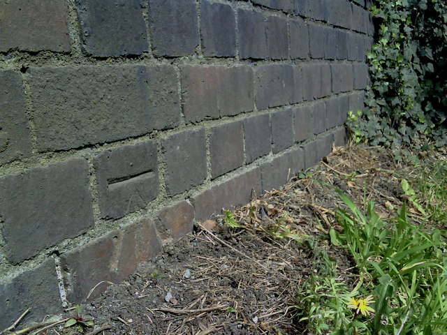
Image: © Roger Templeman Taken: 28 Apr 2010
1968 Ordnance Survey cut mark benchmark on the abutment wall of the railway bridge over Launton Road. The mark was levelled at 70.91m above Newlyn datum. For additional information on this and neighbouring benchmarks see http://www.bench-marks.org.uk/bm34170
Images are licensed for reuse under creativecommons.org/licenses/by-sa/2.0
Image Location
Latitude
51.900066
Longitude
-1.14071