A wide stone wall near Easter Ord
Introduction
The photograph on this page of A wide stone wall near Easter Ord by Stanley Howe as part of the Geograph project.
The Geograph project started in 2005 with the aim of publishing, organising and preserving representative images for every square kilometre of Great Britain, Ireland and the Isle of Man.

There are currently over 7.5m images from over 14,400 individuals and you can help contribute to the project by visiting https://www.geograph.org.uk
A wide stone wall near Easter Ord
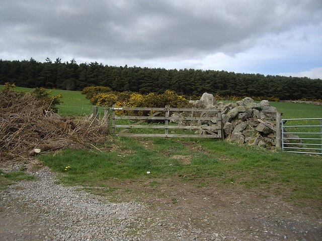
Image: © Stanley Howe Taken: 29 Apr 2010
Leading up to Westerord Plantation; built of piled-up reclamation stones and covered in gorse.
Images are licensed for reuse under creativecommons.org/licenses/by-sa/2.0
Image Location
Latitude
57.131993
Longitude
-2.284119