Drainage channel and path running parallel with Pennant Place, Portishead
Introduction
The photograph on this page of Drainage channel and path running parallel with Pennant Place, Portishead by Jaggery as part of the Geograph project.
The Geograph project started in 2005 with the aim of publishing, organising and preserving representative images for every square kilometre of Great Britain, Ireland and the Isle of Man.

There are currently over 7.5m images from over 14,400 individuals and you can help contribute to the project by visiting https://www.geograph.org.uk
Drainage channel and path running parallel with Pennant Place, Portishead
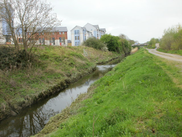
Image: © Jaggery Taken: 25 Apr 2010
Looking in the direction of Phoenix Way. Pennant Place is just out of shot on the right.
Images are licensed for reuse under creativecommons.org/licenses/by-sa/2.0
Image Location
Latitude
51.489507
Longitude
-2.756106