Far end of Pennant Place, Portishead
Introduction
The photograph on this page of Far end of Pennant Place, Portishead by Jaggery as part of the Geograph project.
The Geograph project started in 2005 with the aim of publishing, organising and preserving representative images for every square kilometre of Great Britain, Ireland and the Isle of Man.

There are currently over 7.5m images from over 14,400 individuals and you can help contribute to the project by visiting https://www.geograph.org.uk
Far end of Pennant Place, Portishead
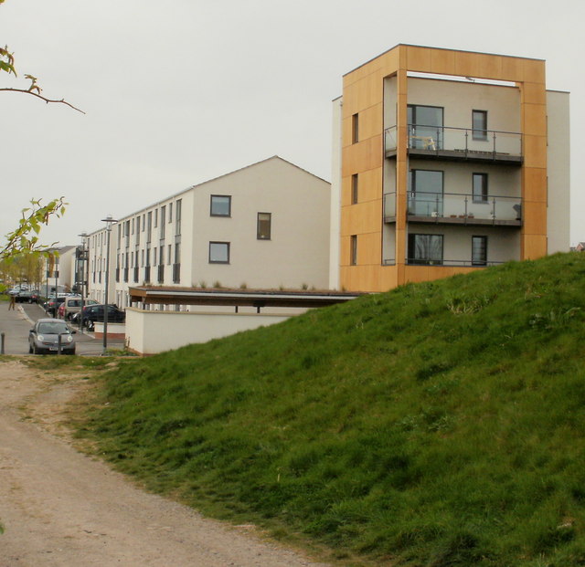
Image: © Jaggery Taken: 25 Apr 2010
The view from the seaward side. Pennant Place houses were built c2008 and house construction in the area is continuing (as at April 2010).
Images are licensed for reuse under creativecommons.org/licenses/by-sa/2.0
Image Location
Latitude
51.490415
Longitude
-2.75468