Ampthill Square Estate tower blocks.
Introduction
The photograph on this page of Ampthill Square Estate tower blocks. by Graham Hale as part of the Geograph project.
The Geograph project started in 2005 with the aim of publishing, organising and preserving representative images for every square kilometre of Great Britain, Ireland and the Isle of Man.

There are currently over 7.5m images from over 14,400 individuals and you can help contribute to the project by visiting https://www.geograph.org.uk
Ampthill Square Estate tower blocks.
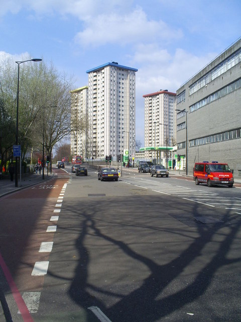
Image: © Graham Hale Taken: 15 Apr 2010
Looking north on the Hampstead Road. These 20 storey residential blocks dominate the north end of Euston Station. They are named Oxenholme ( red top), Gillfoot (blue top) and Dalehead (yellow top). The naming carries on a theme of Cumbrian place names adopted in the neighbouring Regents Park Estate on the west side of Hampstead road.
Images are licensed for reuse under creativecommons.org/licenses/by-sa/2.0
Image Location
Latitude
51.532731
Longitude
-0.137412