One end of Blythe Road, 1968
Introduction
The photograph on this page of One end of Blythe Road, 1968 by Robin Webster as part of the Geograph project.
The Geograph project started in 2005 with the aim of publishing, organising and preserving representative images for every square kilometre of Great Britain, Ireland and the Isle of Man.

There are currently over 7.5m images from over 14,400 individuals and you can help contribute to the project by visiting https://www.geograph.org.uk
One end of Blythe Road, 1968
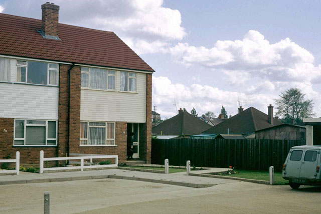
Image: © Robin Webster Taken: Unknown
A T-shaped dead-end, Blythe Road was a recent infill in the Homesteads area of Stanford-le-Hope in 1968. There was some early confusion about its name - the spelling was Blyth on some documents. Bungalows in Third Avenue, one of the original Homesteads roads, are beyond.
Images are licensed for reuse under creativecommons.org/licenses/by-sa/2.0
Image Location
Latitude
51.526846
Longitude
0.438592