Sheep grazings off the Barbour Road
Introduction
The photograph on this page of Sheep grazings off the Barbour Road by Phil Williams as part of the Geograph project.
The Geograph project started in 2005 with the aim of publishing, organising and preserving representative images for every square kilometre of Great Britain, Ireland and the Isle of Man.

There are currently over 7.5m images from over 14,400 individuals and you can help contribute to the project by visiting https://www.geograph.org.uk
Sheep grazings off the Barbour Road
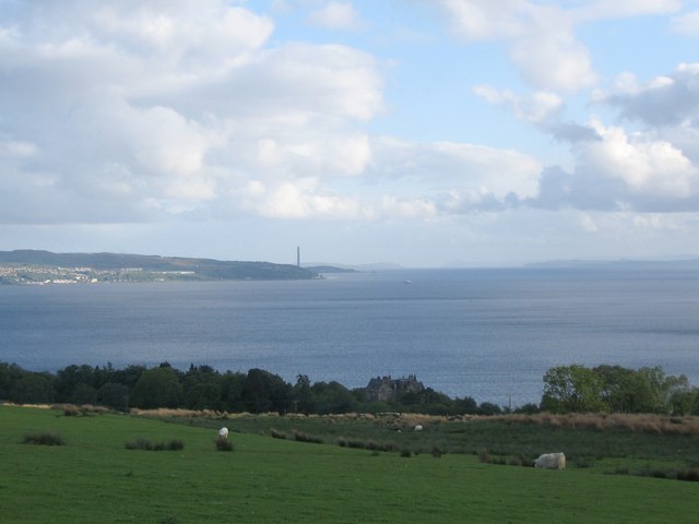
Image: © Phil Williams Taken: 28 May 2006
A view looking to the south-southwest over sheep grazings off the Barbour Road on the Rosneath Peninsula. Knockderry castle can be seen in the trees in the upper foreground with Cloch Point and the chimney at Inverkip power station visible across the Firth of Clyde.
Images are licensed for reuse under creativecommons.org/licenses/by-sa/2.0
Image Location
Latitude
56.013973
Longitude
-4.857005