Blythburgh Village
Introduction
The photograph on this page of Blythburgh Village by Ashley Dace as part of the Geograph project.
The Geograph project started in 2005 with the aim of publishing, organising and preserving representative images for every square kilometre of Great Britain, Ireland and the Isle of Man.

There are currently over 7.5m images from over 14,400 individuals and you can help contribute to the project by visiting https://www.geograph.org.uk
Blythburgh Village
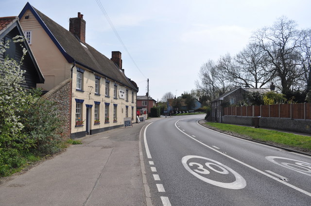
Image: © Ashley Dace Taken: 27 Apr 2010
A view of the White Hart pub and a few houses in the village. Sadly spoilt by the A11 passing through.
Images are licensed for reuse under creativecommons.org/licenses/by-sa/2.0
Image Location
Latitude
52.322292
Longitude
1.597847