Barley field, Newhall
Introduction
The photograph on this page of Barley field, Newhall by Mike Harris as part of the Geograph project.
The Geograph project started in 2005 with the aim of publishing, organising and preserving representative images for every square kilometre of Great Britain, Ireland and the Isle of Man.

There are currently over 7.5m images from over 14,400 individuals and you can help contribute to the project by visiting https://www.geograph.org.uk
Barley field, Newhall
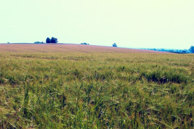
Image: © Mike Harris Taken: 7 Jun 2006
Taken from the footpath just east of the A530. In this part of Cheshire arable farming (mostly cereals) is almost as common as dairying. Here there were large fields of barley, just further along the path a large field of oats.
Images are licensed for reuse under creativecommons.org/licenses/by-sa/2.0
Image Location
Latitude
52.997527
Longitude
-2.590132