Rape and field edge, by Lower Farm, Stoke Talmage
Introduction
The photograph on this page of Rape and field edge, by Lower Farm, Stoke Talmage by David Hawgood as part of the Geograph project.
The Geograph project started in 2005 with the aim of publishing, organising and preserving representative images for every square kilometre of Great Britain, Ireland and the Isle of Man.

There are currently over 7.5m images from over 14,400 individuals and you can help contribute to the project by visiting https://www.geograph.org.uk
Rape and field edge, by Lower Farm, Stoke Talmage
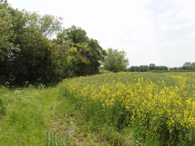
Image: © David Hawgood Taken: 7 Jun 2006
The footpath is shown going across the field, but I had trouble following it and was on the edge of the field, just by Lower Farm.
Images are licensed for reuse under creativecommons.org/licenses/by-sa/2.0
Image Location
Latitude
51.694653
Longitude
-1.01902