Woodford Halse Flood Warning Station
Introduction
The photograph on this page of Woodford Halse Flood Warning Station by Des Blenkinsopp as part of the Geograph project.
The Geograph project started in 2005 with the aim of publishing, organising and preserving representative images for every square kilometre of Great Britain, Ireland and the Isle of Man.

There are currently over 7.5m images from over 14,400 individuals and you can help contribute to the project by visiting https://www.geograph.org.uk
Woodford Halse Flood Warning Station
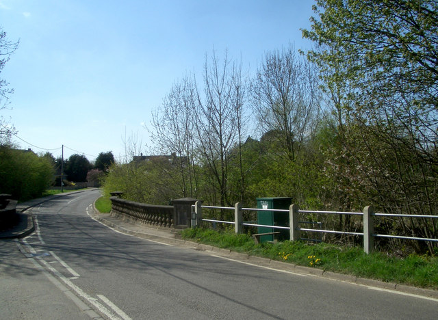
Image: © Des Blenkinsopp Taken: 21 Apr 2010
The River Cherwell, which is what's under the bridge, is prone to flooding over most of its length, from a few km. north of here right down into Oxford. The Environment Agency have installed monitoring equipment in the green kiosk to raise an alarm when the river reaches a dangerous level.
Images are licensed for reuse under creativecommons.org/licenses/by-sa/2.0
Image Location
Latitude
52.167869
Longitude
-1.212908