A40 west of Llandeilo
Introduction
The photograph on this page of A40 west of Llandeilo by Jonathan Billinger as part of the Geograph project.
The Geograph project started in 2005 with the aim of publishing, organising and preserving representative images for every square kilometre of Great Britain, Ireland and the Isle of Man.

There are currently over 7.5m images from over 14,400 individuals and you can help contribute to the project by visiting https://www.geograph.org.uk
A40 west of Llandeilo
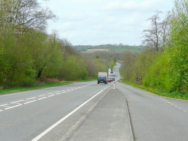
Image: © Jonathan Billinger Taken: 27 Apr 2010
The long straight is a result of realignment of the trunk road to Carmarthen.
Images are licensed for reuse under creativecommons.org/licenses/by-sa/2.0
Image Location


Leaflet Map data © OpenStreetMap
Latitude
51.89191
Longitude
-4.018426