Brackenborough Road, near Louth
Introduction
The photograph on this page of Brackenborough Road, near Louth by Kate Jewell as part of the Geograph project.
The Geograph project started in 2005 with the aim of publishing, organising and preserving representative images for every square kilometre of Great Britain, Ireland and the Isle of Man.

There are currently over 7.5m images from over 14,400 individuals and you can help contribute to the project by visiting https://www.geograph.org.uk
Brackenborough Road, near Louth
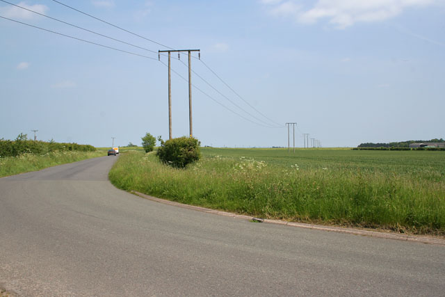
Image: © Kate Jewell Taken: 6 Jun 2006
On the very edge of the Lincolnshire Wolds the land here is 28 metres above sea level. A few kilometres to the east and the land has dropped to 5 metres. Next stop, about 15 km as the bird flies, Saltfleet (Image) on the east coast. View from the 3rd bend to the 4th on this zig-zag road.
Images are licensed for reuse under creativecommons.org/licenses/by-sa/2.0
Image Location
Latitude
53.383948
Longitude
0.005855