Wendlebury Flood Warning Station
Introduction
The photograph on this page of Wendlebury Flood Warning Station by Des Blenkinsopp as part of the Geograph project.
The Geograph project started in 2005 with the aim of publishing, organising and preserving representative images for every square kilometre of Great Britain, Ireland and the Isle of Man.

There are currently over 7.5m images from over 14,400 individuals and you can help contribute to the project by visiting https://www.geograph.org.uk
Wendlebury Flood Warning Station
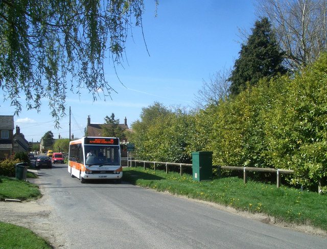
Image: © Des Blenkinsopp Taken: 20 Apr 2010
Although you can't see it, there is a stream running along under the hedge. It has caused flooding from time to time and the Environment Agency has installed early warning equipment in the green kiosk. (not the wheely bin) It's actually not that exciting is it, so I waited for the bus to come along and make a bit more of a picture.
Images are licensed for reuse under creativecommons.org/licenses/by-sa/2.0
Image Location
Latitude
51.874309
Longitude
-1.185359