Subway under the A299
Introduction
The photograph on this page of Subway under the A299 by David Anstiss as part of the Geograph project.
The Geograph project started in 2005 with the aim of publishing, organising and preserving representative images for every square kilometre of Great Britain, Ireland and the Isle of Man.

There are currently over 7.5m images from over 14,400 individuals and you can help contribute to the project by visiting https://www.geograph.org.uk
Subway under the A299
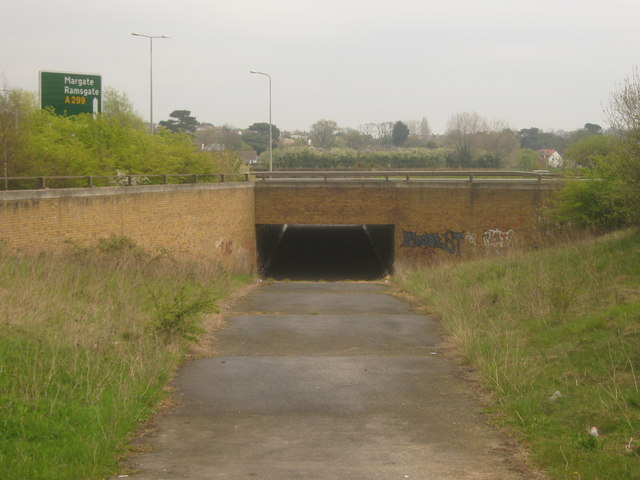
Image: © David Anstiss Taken: 25 Apr 2010
This tunnel is on a path from Mandarin Lane towards Lower Herne Road. The A299 heads left towards Margate and Ramsgate from Herne Bay and Whitstable.
Images are licensed for reuse under creativecommons.org/licenses/by-sa/2.0
Image Location
Latitude
51.355441
Longitude
1.123569