Plantation, Hill House Fold
Introduction
The photograph on this page of Plantation, Hill House Fold by Chris Denny as part of the Geograph project.
The Geograph project started in 2005 with the aim of publishing, organising and preserving representative images for every square kilometre of Great Britain, Ireland and the Isle of Man.

There are currently over 7.5m images from over 14,400 individuals and you can help contribute to the project by visiting https://www.geograph.org.uk
Plantation, Hill House Fold
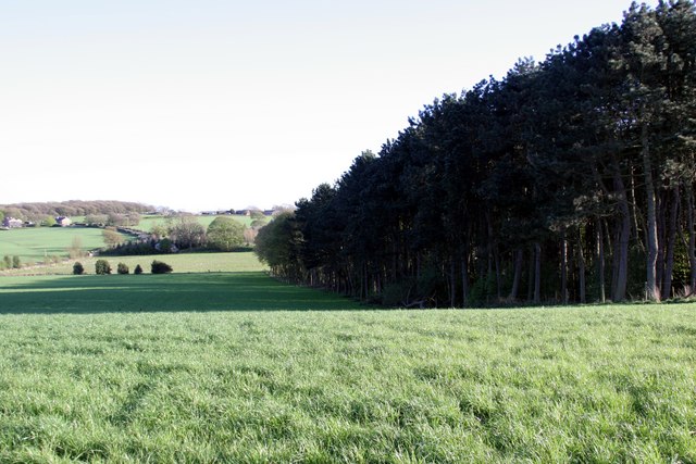
Image: © Chris Denny Taken: 26 Apr 2010
The oddly named settlement of Robin Hood can be seen in the distance.
Images are licensed for reuse under creativecommons.org/licenses/by-sa/2.0
Image Location
Latitude
53.603258
Longitude
-2.72579