Footpath in Herne Bay Golf Course
Introduction
The photograph on this page of Footpath in Herne Bay Golf Course by David Anstiss as part of the Geograph project.
The Geograph project started in 2005 with the aim of publishing, organising and preserving representative images for every square kilometre of Great Britain, Ireland and the Isle of Man.

There are currently over 7.5m images from over 14,400 individuals and you can help contribute to the project by visiting https://www.geograph.org.uk
Footpath in Herne Bay Golf Course
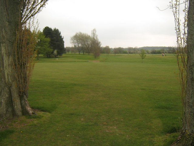
Image: © David Anstiss Taken: 25 Apr 2010
A path leads from Mandarin Lane towards Lower Herne Road. It crosses several tees but is well used and easily followed.
Images are licensed for reuse under creativecommons.org/licenses/by-sa/2.0
Image Location
Latitude
51.357359
Longitude
1.119102