River Devon Ford at Bottesford
Introduction
The photograph on this page of River Devon Ford at Bottesford by John Walton as part of the Geograph project.
The Geograph project started in 2005 with the aim of publishing, organising and preserving representative images for every square kilometre of Great Britain, Ireland and the Isle of Man.

There are currently over 7.5m images from over 14,400 individuals and you can help contribute to the project by visiting https://www.geograph.org.uk
River Devon Ford at Bottesford
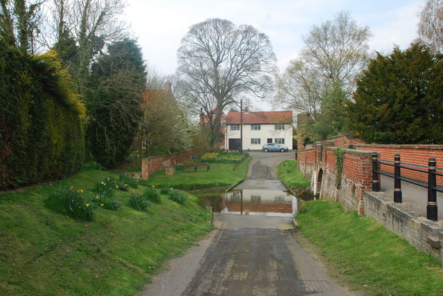
Image: © John Walton Taken: 18 Apr 2010
This ford is on Devon Lane which joins shortly with the main road out of Bottesford towards Long Bennington. There is also a ford on the main road adjacent to the Church of St. Mary the Virgin with its 210 foot spire. http://www.geograph.org.uk/photo/1828380
Images are licensed for reuse under creativecommons.org/licenses/by-sa/2.0
Image Location
Latitude
52.943171
Longitude
-0.803365