Road from Tregowris to St Keverne
Introduction
The photograph on this page of Road from Tregowris to St Keverne by Trevor Harris as part of the Geograph project.
The Geograph project started in 2005 with the aim of publishing, organising and preserving representative images for every square kilometre of Great Britain, Ireland and the Isle of Man.

There are currently over 7.5m images from over 14,400 individuals and you can help contribute to the project by visiting https://www.geograph.org.uk
Road from Tregowris to St Keverne
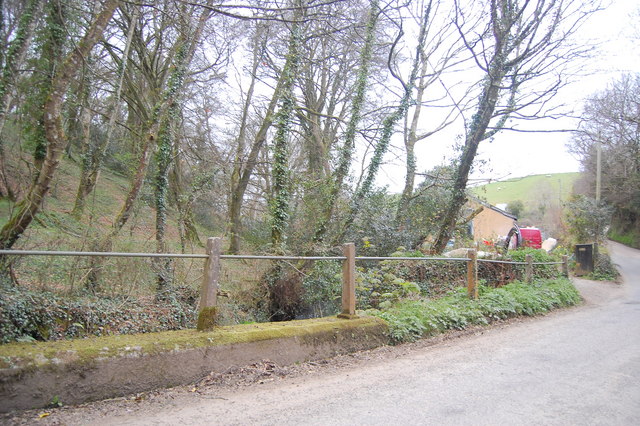
Image: © Trevor Harris Taken: 14 Apr 2010
The building that can be seen is a pumping station by the stream which flows on down to tregarne Mill and Porthallow.
Images are licensed for reuse under creativecommons.org/licenses/by-sa/2.0
Image Location
Latitude
50.057842
Longitude
-5.100381