Farmland near Merton
Introduction
The photograph on this page of Farmland near Merton by Bob Jones as part of the Geograph project.
The Geograph project started in 2005 with the aim of publishing, organising and preserving representative images for every square kilometre of Great Britain, Ireland and the Isle of Man.

There are currently over 7.5m images from over 14,400 individuals and you can help contribute to the project by visiting https://www.geograph.org.uk
Farmland near Merton
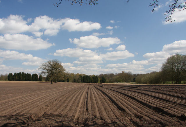
Image: © Bob Jones Taken: 22 Apr 2010
This ploughed field lies east of the minor road between Merton and Pockthorpe. The woodland to the right is Birch Wood.
Images are licensed for reuse under creativecommons.org/licenses/by-sa/2.0
Image Location
Latitude
52.544885
Longitude
0.823424