Salvation Army Citadel, Merthyr Tydfil
Introduction
The photograph on this page of Salvation Army Citadel, Merthyr Tydfil by Jaggery as part of the Geograph project.
The Geograph project started in 2005 with the aim of publishing, organising and preserving representative images for every square kilometre of Great Britain, Ireland and the Isle of Man.

There are currently over 7.5m images from over 14,400 individuals and you can help contribute to the project by visiting https://www.geograph.org.uk
Salvation Army Citadel, Merthyr Tydfil
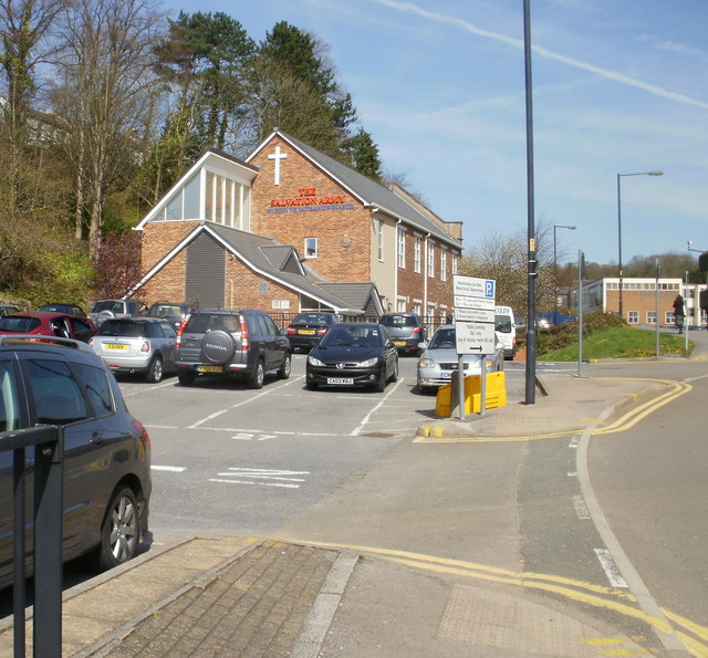
Image: © Jaggery Taken: 21 Apr 2010
In 1878 two young evangelists arrived in Merthyr Tydfil for the purpose of establishing a branch of a new religious organisation known as the Christian Mission. The organisation was later renamed the Salvation Army. In the early years, various premises were used. The Salvation Army's current citadel in Glebeland Place, shown here, opened in 1937 and has since been extensively modernised.
Images are licensed for reuse under creativecommons.org/licenses/by-sa/2.0
Image Location
Latitude
51.747264
Longitude
-3.381821