Footpath towards Pean Hill
Introduction
The photograph on this page of Footpath towards Pean Hill by David Anstiss as part of the Geograph project.
The Geograph project started in 2005 with the aim of publishing, organising and preserving representative images for every square kilometre of Great Britain, Ireland and the Isle of Man.

There are currently over 7.5m images from over 14,400 individuals and you can help contribute to the project by visiting https://www.geograph.org.uk
Footpath towards Pean Hill
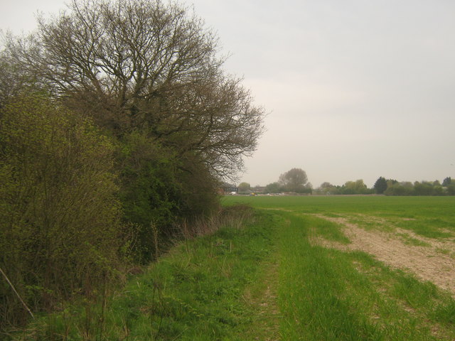
Image: © David Anstiss Taken: 25 Apr 2010
A footpath from Bogshole Lane, leads beside a stream from North Bishopden Wood. The path leads towards an access road to Clowes Farm before reaching the A290 Pean Hill.
Images are licensed for reuse under creativecommons.org/licenses/by-sa/2.0
Image Location
Latitude
51.322144
Longitude
1.031873