Manor farm stables, Willington
Introduction
The photograph on this page of Manor farm stables, Willington by PAUL FARMER as part of the Geograph project.
The Geograph project started in 2005 with the aim of publishing, organising and preserving representative images for every square kilometre of Great Britain, Ireland and the Isle of Man.

There are currently over 7.5m images from over 14,400 individuals and you can help contribute to the project by visiting https://www.geograph.org.uk
Manor farm stables, Willington
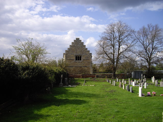
Image: © PAUL FARMER Taken: 25 Apr 2010
These stables were built around 1539 as part of what is left of the buildings of the Manor farm.
Images are licensed for reuse under creativecommons.org/licenses/by-sa/2.0
Image Location
Latitude
52.136702
Longitude
-0.385718