The Heritage Centre
Introduction
The photograph on this page of The Heritage Centre by Kokai as part of the Geograph project.
The Geograph project started in 2005 with the aim of publishing, organising and preserving representative images for every square kilometre of Great Britain, Ireland and the Isle of Man.

There are currently over 7.5m images from over 14,400 individuals and you can help contribute to the project by visiting https://www.geograph.org.uk
The Heritage Centre
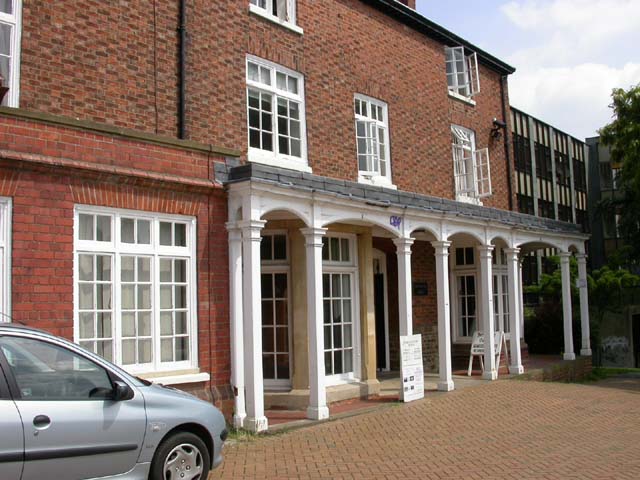
Image: © Kokai Taken: 6 Jun 2006
On the ground floor of Croyland Hall, a Borough Council building, and run by volunteers. A generous grant is enabling the local history museum to move to the Dulley's Swimming Baths building. Information goes back 2000 years but emphasis is on late C19th and early C20th.
Images are licensed for reuse under creativecommons.org/licenses/by-sa/2.0
Image Location


Leaflet Map data © OpenStreetMap
Latitude
52.300104
Longitude
-0.693626