The top of Maze Hill
Introduction
The photograph on this page of The top of Maze Hill by Stephen Craven as part of the Geograph project.
The Geograph project started in 2005 with the aim of publishing, organising and preserving representative images for every square kilometre of Great Britain, Ireland and the Isle of Man.

There are currently over 7.5m images from over 14,400 individuals and you can help contribute to the project by visiting https://www.geograph.org.uk
The top of Maze Hill
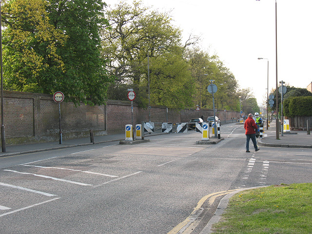
Image: © Stephen Craven Taken: 24 Apr 2010
This is the junction of Maze Hill (foreground) and Vanbrugh Park (right) with a traffic barrier preventing HGVs and coaches from getting access to Greenwich town centre.
Images are licensed for reuse under creativecommons.org/licenses/by-sa/2.0
Image Location
Latitude
51.476914
Longitude
0.008064