Alley view from St Thomas' churchyard
Introduction
The photograph on this page of Alley view from St Thomas' churchyard by Shazz as part of the Geograph project.
The Geograph project started in 2005 with the aim of publishing, organising and preserving representative images for every square kilometre of Great Britain, Ireland and the Isle of Man.

There are currently over 7.5m images from over 14,400 individuals and you can help contribute to the project by visiting https://www.geograph.org.uk
Alley view from St Thomas' churchyard
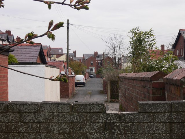
Image: © Shazz Taken: 23 Apr 2010
This alleyway runs parallel with Victoria Road to the east and St Thomas Road to the west but I have not been able to find a name for it.
Images are licensed for reuse under creativecommons.org/licenses/by-sa/2.0
Image Location
Latitude
53.747776
Longitude
-3.023375