Footpath to Brook Lane
Introduction
The photograph on this page of Footpath to Brook Lane by Geographer as part of the Geograph project.
The Geograph project started in 2005 with the aim of publishing, organising and preserving representative images for every square kilometre of Great Britain, Ireland and the Isle of Man.

There are currently over 7.5m images from over 14,400 individuals and you can help contribute to the project by visiting https://www.geograph.org.uk
Footpath to Brook Lane
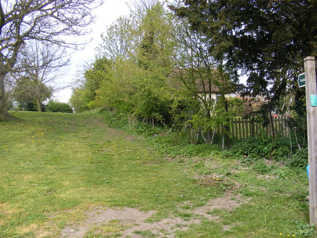
Image: © Geographer Taken: 25 Apr 2010
Off The Street, Capel St.Mary The route of this footpath runs along the side of St Mary the Virgin Church
Images are licensed for reuse under creativecommons.org/licenses/by-sa/2.0
Image Location
Latitude
52.003486
Longitude
1.037366