Entrance to Tinsley Community Allotments
Introduction
The photograph on this page of Entrance to Tinsley Community Allotments by Nic Franklin-Woolley as part of the Geograph project.
The Geograph project started in 2005 with the aim of publishing, organising and preserving representative images for every square kilometre of Great Britain, Ireland and the Isle of Man.

There are currently over 7.5m images from over 14,400 individuals and you can help contribute to the project by visiting https://www.geograph.org.uk
Entrance to Tinsley Community Allotments
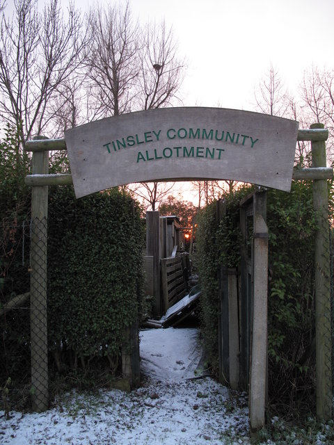
Image: © Nic Franklin-Woolley Taken: 3 Jan 2010
Not your usual allotments as I gather they're worked by a group rather than individuals having their own plot. If anyone knows different, I am happy to be corrected.
Images are licensed for reuse under creativecommons.org/licenses/by-sa/2.0
Image Location
Latitude
53.410688
Longitude
-1.396713