Former Jeffrey's House, Jeffrey's Rake
Introduction
The photograph on this page of Former Jeffrey's House, Jeffrey's Rake by Elfrieda Waren as part of the Geograph project.
The Geograph project started in 2005 with the aim of publishing, organising and preserving representative images for every square kilometre of Great Britain, Ireland and the Isle of Man.

There are currently over 7.5m images from over 14,400 individuals and you can help contribute to the project by visiting https://www.geograph.org.uk
Former Jeffrey's House, Jeffrey's Rake
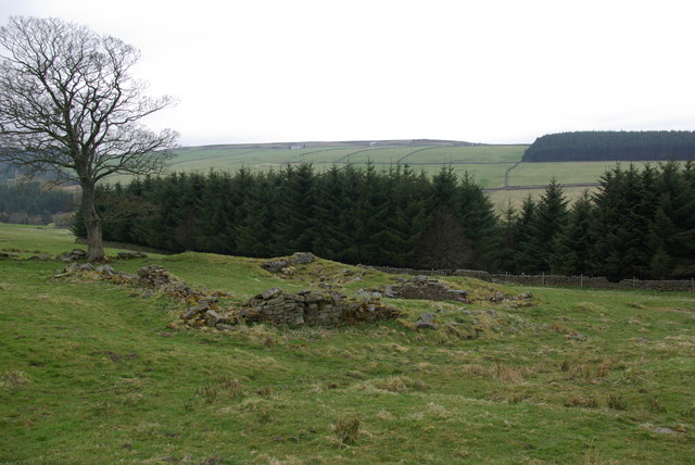
Image: © Elfrieda Waren Taken: 25 Apr 2010
Today's Jeffrey's House is further down the hill, but on an 1850s plan of the Ramshaw area, this was Jeffrey's House, and the building lower down was 'The Hall of Commerce' inhabited by grocer Thomas Pears and his family.
Images are licensed for reuse under creativecommons.org/licenses/by-sa/2.0
Image Location
Latitude
54.821605
Longitude
-2.070937