Mapperley Park: Old Hall Drive
Introduction
The photograph on this page of Mapperley Park: Old Hall Drive by John Sutton as part of the Geograph project.
The Geograph project started in 2005 with the aim of publishing, organising and preserving representative images for every square kilometre of Great Britain, Ireland and the Isle of Man.

There are currently over 7.5m images from over 14,400 individuals and you can help contribute to the project by visiting https://www.geograph.org.uk
Mapperley Park: Old Hall Drive
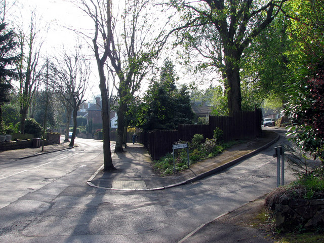
Image: © John Sutton Taken: 23 Apr 2010
Mapperley Park, long the home of Nottingham's prosperous, is the quintessential leafy suburb. This is the junction of Mapperley Hall Drive and Old Hall Drive, a steep and narrow cul de sac at the top end of which my Auntie Ethel and Uncle Harold lived in the 1960s.
Images are licensed for reuse under creativecommons.org/licenses/by-sa/2.0
Image Location
Latitude
52.975419
Longitude
-1.14426