Looking down Houldsworth Rise
Introduction
The photograph on this page of Looking down Houldsworth Rise by Andrew Hill as part of the Geograph project.
The Geograph project started in 2005 with the aim of publishing, organising and preserving representative images for every square kilometre of Great Britain, Ireland and the Isle of Man.

There are currently over 7.5m images from over 14,400 individuals and you can help contribute to the project by visiting https://www.geograph.org.uk
Looking down Houldsworth Rise
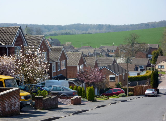
Image: © Andrew Hill Taken: 17 Apr 2010
The main road into Nottingham crosses between houses at the lowest point. The height allows open countryside beyond to be seen.
Images are licensed for reuse under creativecommons.org/licenses/by-sa/2.0
Image Location
Latitude
53.012982
Longitude
-1.130102