Mullion: Meaver Road
Introduction
The photograph on this page of Mullion: Meaver Road by Dr Neil Clifton as part of the Geograph project.
The Geograph project started in 2005 with the aim of publishing, organising and preserving representative images for every square kilometre of Great Britain, Ireland and the Isle of Man.

There are currently over 7.5m images from over 14,400 individuals and you can help contribute to the project by visiting https://www.geograph.org.uk
Mullion: Meaver Road
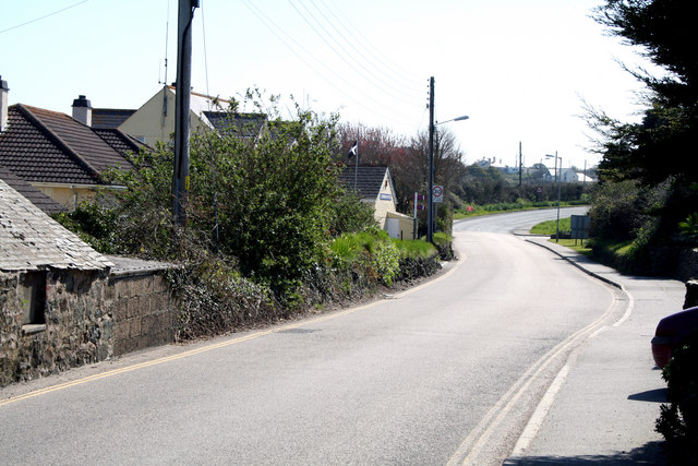
Image: © Dr Neil Clifton Taken: 18 Apr 2010
This is part of the B3296. It runs eastward from Mullion for just over a mile to join the A3083, Helston to Lizard Road, at Penhale.
Images are licensed for reuse under creativecommons.org/licenses/by-sa/2.0
Image Location
Latitude
50.027868
Longitude
-5.239214