Chapel Close - St Athan
Introduction
The photograph on this page of Chapel Close - St Athan by Mick Lobb as part of the Geograph project.
The Geograph project started in 2005 with the aim of publishing, organising and preserving representative images for every square kilometre of Great Britain, Ireland and the Isle of Man.

There are currently over 7.5m images from over 14,400 individuals and you can help contribute to the project by visiting https://www.geograph.org.uk
Chapel Close - St Athan
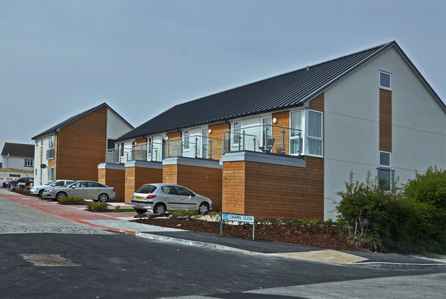
Image: © Mick Lobb Taken: 24 Apr 2010
So new (see Image) that people were moving in at the time this was photographed.
Images are licensed for reuse under creativecommons.org/licenses/by-sa/2.0
Image Location
Latitude
51.39916
Longitude
-3.414142