Field near Honey Park
Introduction
The photograph on this page of Field near Honey Park by Derek Harper as part of the Geograph project.
The Geograph project started in 2005 with the aim of publishing, organising and preserving representative images for every square kilometre of Great Britain, Ireland and the Isle of Man.

There are currently over 7.5m images from over 14,400 individuals and you can help contribute to the project by visiting https://www.geograph.org.uk
Field near Honey Park
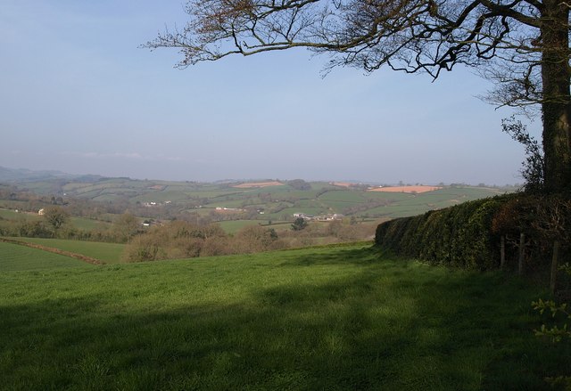
Image: © Derek Harper Taken: 22 Apr 2010
Looking along the other side of the field boundary on the left of Image, beneath a beech tree. The farms across the Burn River valley are in Image
Images are licensed for reuse under creativecommons.org/licenses/by-sa/2.0
Image Location
Latitude
50.860356
Longitude
-3.448076