Higher Parr Street
Introduction
The photograph on this page of Higher Parr Street by Chris Denny as part of the Geograph project.
The Geograph project started in 2005 with the aim of publishing, organising and preserving representative images for every square kilometre of Great Britain, Ireland and the Isle of Man.

There are currently over 7.5m images from over 14,400 individuals and you can help contribute to the project by visiting https://www.geograph.org.uk
Higher Parr Street
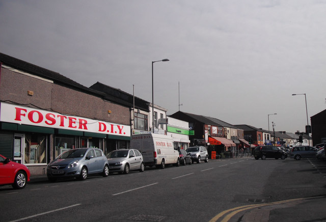
Image: © Chris Denny Taken: 23 Apr 2010
The always busy Fingerpost shopping area is full of the type of shops regrettably becoming increasingly rare in our bland towns.
Images are licensed for reuse under creativecommons.org/licenses/by-sa/2.0
Image Location
Latitude
53.453714
Longitude
-2.721581