Bridleway gate Pentridge Dorset
Introduction
The photograph on this page of Bridleway gate Pentridge Dorset by Clive Perrin as part of the Geograph project.
The Geograph project started in 2005 with the aim of publishing, organising and preserving representative images for every square kilometre of Great Britain, Ireland and the Isle of Man.

There are currently over 7.5m images from over 14,400 individuals and you can help contribute to the project by visiting https://www.geograph.org.uk
Bridleway gate Pentridge Dorset
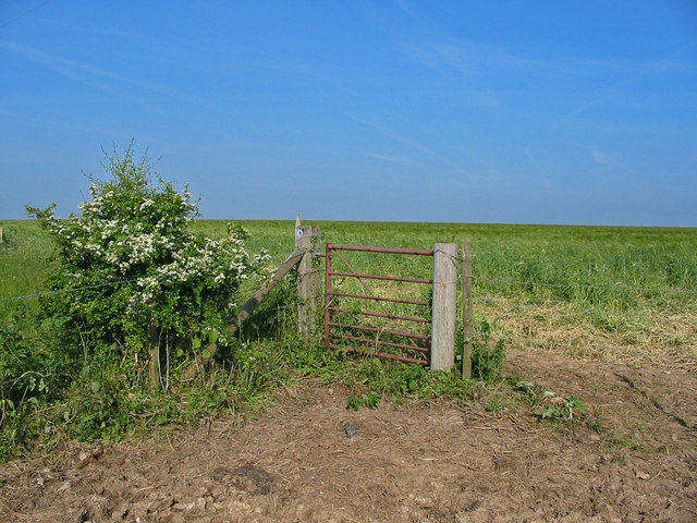
Image: © Clive Perrin Taken: 5 Jun 2006
This gate is at the NW end of the farm track. The bridleway continues ahead through the barley crop to the A354
Images are licensed for reuse under creativecommons.org/licenses/by-sa/2.0
Image Location


Leaflet Map data © OpenStreetMap
Latitude
50.961922
Longitude
-1.962642