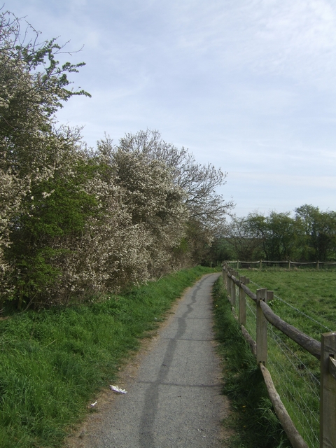
Footpath around the battlefield - Battle of Shrewsbury - 1403
Introduction
The photograph on this page of Footpath around the battlefield - Battle of Shrewsbury - 1403 by John M as part of the Geograph project.
The Geograph project started in 2005 with the aim of publishing, organising and preserving representative images for every square kilometre of Great Britain, Ireland and the Isle of Man.
There are currently over 7.5m images from over 14,400 individuals and you can help contribute to the project by visiting https://www.geograph.org.uk

Image: © John M Taken: 24 Apr 2010
The battle took place on 21st July 1403 between a rebel army raised by the Percy family of Northumberland and King Henry IV supported by his son Prince Hal. The rebels had grievances over money owing following their part in the overthrow of Richard II in 1399 and later assistance to the king. The battle is notable for the large scale deployment of English archers in both of the armies and set the pattern for the victory against the French at Agincourt. It is thought that the rebel army may have numbered 10,000 and the royal army 14,000.

