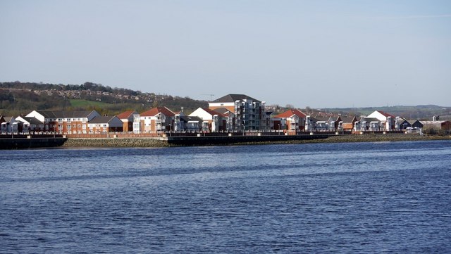
Dunston riverside housing development
Introduction
The photograph on this page of Dunston riverside housing development by Andrew Curtis as part of the Geograph project.
The Geograph project started in 2005 with the aim of publishing, organising and preserving representative images for every square kilometre of Great Britain, Ireland and the Isle of Man.
There are currently over 7.5m images from over 14,400 individuals and you can help contribute to the project by visiting https://www.geograph.org.uk

Image: © Andrew Curtis Taken: 22 Apr 2010
Seen across the River Tyne. Compare with Image This area was once heavily industrial and the site of Image Before the mid C19th there was a 30 acre island in this section of the river, Kings Meadows, which was used for horse racing and regattas. There was a public house on the island, The Countess of Coventry, whose landlady kept cows to supply Elswick village with milk. The island was swept away following the invention of the steam dredger to allow ships access to Armstrong's works at Elswick and to the quays at Dunston. Now that big ships no longer use this part of the river it might be possible to recreate the lost island http://www.newcastle-arts-centre.co.uk/r-kings_meadows.htm

