The Tredegar Arms, Tredegar
Introduction
The photograph on this page of The Tredegar Arms, Tredegar by Jaggery as part of the Geograph project.
The Geograph project started in 2005 with the aim of publishing, organising and preserving representative images for every square kilometre of Great Britain, Ireland and the Isle of Man.

There are currently over 7.5m images from over 14,400 individuals and you can help contribute to the project by visiting https://www.geograph.org.uk
The Tredegar Arms, Tredegar
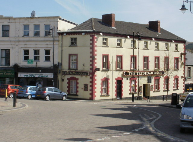
Image: © Jaggery Taken: 21 Apr 2010
Large pub at 1 Morgan Street, adjacent to the Town Clock. http://www.geograph.org.uk/photo/166291 Built in 1810. Previously named The Coach House.
Images are licensed for reuse under creativecommons.org/licenses/by-sa/2.0
Image Location
Latitude
51.771258
Longitude
-3.246318