Footpath: Hawthorn Road to Wragby Road
Introduction
The photograph on this page of Footpath: Hawthorn Road to Wragby Road by Matthew Smith as part of the Geograph project.
The Geograph project started in 2005 with the aim of publishing, organising and preserving representative images for every square kilometre of Great Britain, Ireland and the Isle of Man.

There are currently over 7.5m images from over 14,400 individuals and you can help contribute to the project by visiting https://www.geograph.org.uk
Footpath: Hawthorn Road to Wragby Road
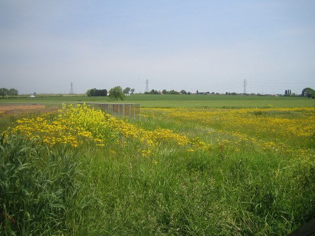
Image: © Matthew Smith Taken: 6 Jun 2006
The route of the footpath is hard to determine as it is very overgrown. The land to the left of the picture is about to be developed for housing.
Images are licensed for reuse under creativecommons.org/licenses/by-sa/2.0
Image Location
Latitude
53.244499
Longitude
-0.493901