High Street
Introduction
The photograph on this page of High Street by Ian Capper as part of the Geograph project.
The Geograph project started in 2005 with the aim of publishing, organising and preserving representative images for every square kilometre of Great Britain, Ireland and the Isle of Man.

There are currently over 7.5m images from over 14,400 individuals and you can help contribute to the project by visiting https://www.geograph.org.uk
High Street
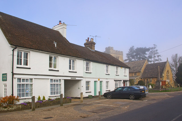
Image: © Ian Capper Taken: 17 Apr 2010
Cottages in High Street. The building on the left is Wayside, a residential care home. In the background is St Mary Magdalene Church, with early morning mist partly obscuring it and the tree behind.
Images are licensed for reuse under creativecommons.org/licenses/by-sa/2.0
Image Location
Latitude
51.122455
Longitude
-0.278927