Great Dunks
Introduction
The photograph on this page of Great Dunks by Simon Carey as part of the Geograph project.
The Geograph project started in 2005 with the aim of publishing, organising and preserving representative images for every square kilometre of Great Britain, Ireland and the Isle of Man.

There are currently over 7.5m images from over 14,400 individuals and you can help contribute to the project by visiting https://www.geograph.org.uk
Great Dunks
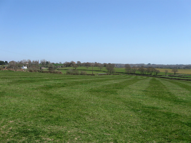
Image: © Simon Carey Taken: 17 Apr 2010
The name of the field according to the 1839 tithe map. The hedgerow at the far end of the field marks the course of Green Lane whilst a few buildings around Broadstreet Green are on the left.
Images are licensed for reuse under creativecommons.org/licenses/by-sa/2.0
Image Location
Latitude
50.855946
Longitude
0.393758