Houses on Hall Green
Introduction
The photograph on this page of Houses on Hall Green by Bob Embleton as part of the Geograph project.
The Geograph project started in 2005 with the aim of publishing, organising and preserving representative images for every square kilometre of Great Britain, Ireland and the Isle of Man.

There are currently over 7.5m images from over 14,400 individuals and you can help contribute to the project by visiting https://www.geograph.org.uk
Houses on Hall Green
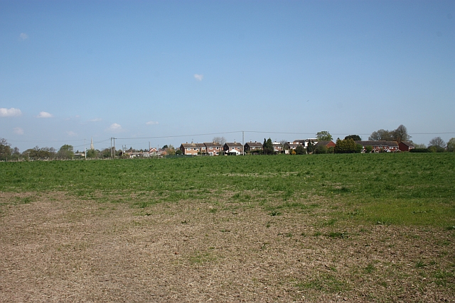
Image: © Bob Embleton Taken: 22 Apr 2010
Viewed from Bury End Lane. The Upton to Ashchurch railway line used to cross this field. Although there appears to be no remaining evidence to be seen the aerial photos still show a darker mark along the route.
Images are licensed for reuse under creativecommons.org/licenses/by-sa/2.0
Image Location


Leaflet Map data © OpenStreetMap
Latitude
52.053876
Longitude
-2.210979