View towards Mynydd Cilciffeth
Introduction
The photograph on this page of View towards Mynydd Cilciffeth by Natasha Ceridwen de Chroustchoff as part of the Geograph project.
The Geograph project started in 2005 with the aim of publishing, organising and preserving representative images for every square kilometre of Great Britain, Ireland and the Isle of Man.

There are currently over 7.5m images from over 14,400 individuals and you can help contribute to the project by visiting https://www.geograph.org.uk
View towards Mynydd Cilciffeth
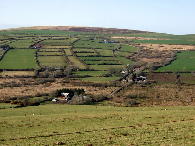
Image: © Natasha Ceridwen de Chroustchoff Taken: 7 Apr 2010
Looking across the valley from the track along the side of Mynydd Castlebyth towards the farms scattered over the opposite slope of Cwm Anghof. The rough moorland of Mynydd Cilciffeth can be seen above.
Images are licensed for reuse under creativecommons.org/licenses/by-sa/2.0
Image Location
Latitude
51.93947
Longitude
-4.88234