Elsdon Village, north part
Introduction
The photograph on this page of Elsdon Village, north part by Andrew Curtis as part of the Geograph project.
The Geograph project started in 2005 with the aim of publishing, organising and preserving representative images for every square kilometre of Great Britain, Ireland and the Isle of Man.

There are currently over 7.5m images from over 14,400 individuals and you can help contribute to the project by visiting https://www.geograph.org.uk
Elsdon Village, north part
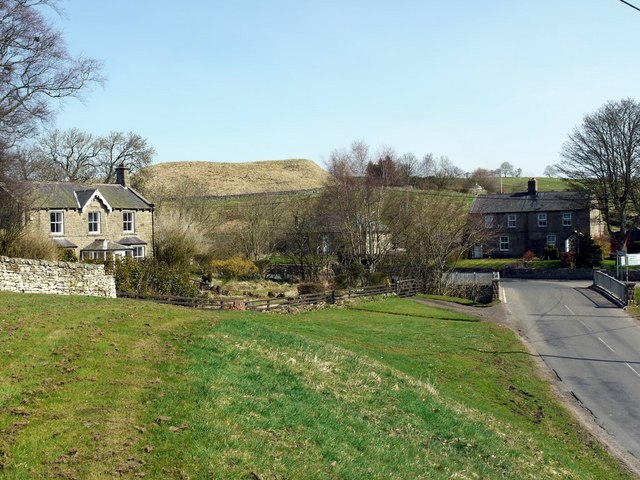
Image: © Andrew Curtis Taken: 16 Apr 2010
The bridge on the right takes the Otterburn to Rothbury road over the Elsdon Burn. The mound of the Motte & Bailey castle Image can be seen between the houses.
Images are licensed for reuse under creativecommons.org/licenses/by-sa/2.0
Image Location


Leaflet Map data © OpenStreetMap
Latitude
55.234317
Longitude
-2.100447