View towards Woodstock
Introduction
The photograph on this page of View towards Woodstock by Natasha Ceridwen de Chroustchoff as part of the Geograph project.
The Geograph project started in 2005 with the aim of publishing, organising and preserving representative images for every square kilometre of Great Britain, Ireland and the Isle of Man.

There are currently over 7.5m images from over 14,400 individuals and you can help contribute to the project by visiting https://www.geograph.org.uk
View towards Woodstock
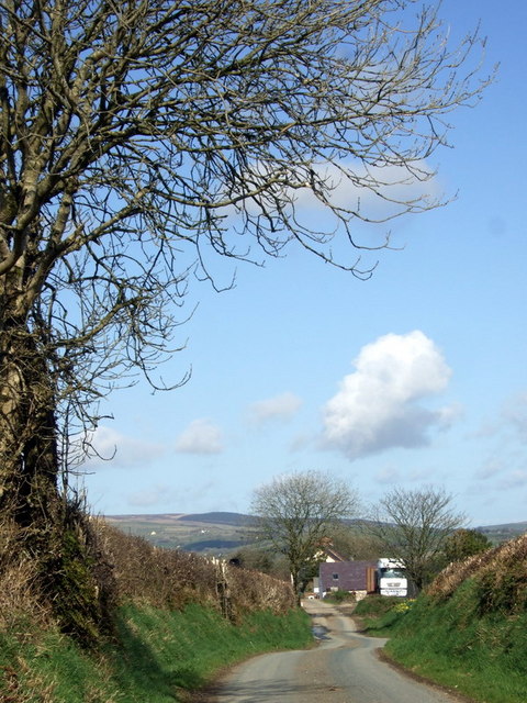
Image: © Natasha Ceridwen de Chroustchoff Taken: 7 Apr 2010
Farms, part of an agricultural community on the western edge of the Syfynwy valley - now Llys Y Fran reservoir.
Images are licensed for reuse under creativecommons.org/licenses/by-sa/2.0
Image Location
Latitude
51.896142
Longitude
-4.866772