Road along Offa's Dyke
Introduction
The photograph on this page of Road along Offa's Dyke by LB as part of the Geograph project.
The Geograph project started in 2005 with the aim of publishing, organising and preserving representative images for every square kilometre of Great Britain, Ireland and the Isle of Man.

There are currently over 7.5m images from over 14,400 individuals and you can help contribute to the project by visiting https://www.geograph.org.uk
Road along Offa's Dyke
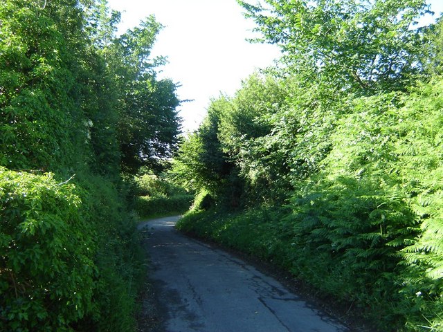
Image: © LB Taken: 1 Jul 2005
Looking South, with the deep bank on the right formed by the dyke itself. The overhanging bushes are elms, huge trees of which used to line the road until 30 years ago.
Images are licensed for reuse under creativecommons.org/licenses/by-sa/2.0
Image Location
Latitude
53.064119
Longitude
-3.059474