River Isla via Open Canoe
Introduction
The photograph on this page of River Isla via Open Canoe by Karl Peet as part of the Geograph project.
The Geograph project started in 2005 with the aim of publishing, organising and preserving representative images for every square kilometre of Great Britain, Ireland and the Isle of Man.

There are currently over 7.5m images from over 14,400 individuals and you can help contribute to the project by visiting https://www.geograph.org.uk
River Isla via Open Canoe
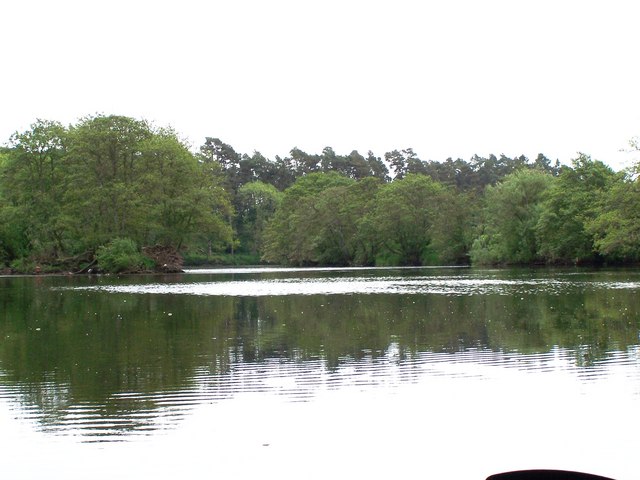
Image: © Karl Peet Taken: 5 Jun 2006
In this area, the lower River Isla is slowly meandering through the farmland of Perthshire enroute to its end, where it joins the River Tay, in approximately 3-4Km. High sided river banks, with the occasional small wood, dominate and restrict the views (of farmland) from the river.
Images are licensed for reuse under creativecommons.org/licenses/by-sa/2.0
Image Location
Latitude
56.540407
Longitude
-3.326929