Upton-upon-Severn Scout & Guide HQ
Introduction
The photograph on this page of Upton-upon-Severn Scout & Guide HQ by Bob Embleton as part of the Geograph project.
The Geograph project started in 2005 with the aim of publishing, organising and preserving representative images for every square kilometre of Great Britain, Ireland and the Isle of Man.

There are currently over 7.5m images from over 14,400 individuals and you can help contribute to the project by visiting https://www.geograph.org.uk
Upton-upon-Severn Scout & Guide HQ
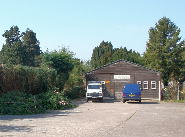
Image: © Bob Embleton Taken: 22 Apr 2010
At the end of the road section of Laburnum Walk. Meeting room and storage with plenty of van parking space for loading equipment. Good to see the Leylandii hedge between the scouts yard and the council cemetery/allotments has had heavy trim.
Images are licensed for reuse under creativecommons.org/licenses/by-sa/2.0
Image Location


Leaflet Map data © OpenStreetMap
Latitude
52.058726
Longitude
-2.213773