Marshfield, Touching End Lane
Introduction
The photograph on this page of Marshfield, Touching End Lane by Mike Faherty as part of the Geograph project.
The Geograph project started in 2005 with the aim of publishing, organising and preserving representative images for every square kilometre of Great Britain, Ireland and the Isle of Man.

There are currently over 7.5m images from over 14,400 individuals and you can help contribute to the project by visiting https://www.geograph.org.uk
Marshfield, Touching End Lane
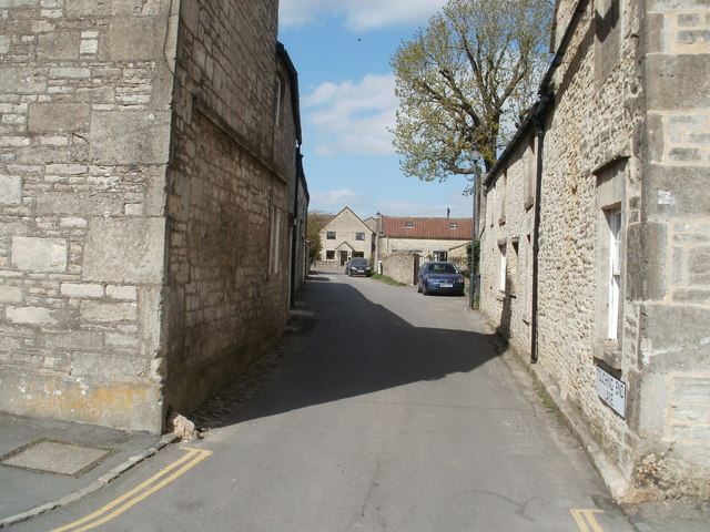
Image: © Mike Faherty Taken: 20 Apr 2010
Lane off High Street; according to a local resident, named after two stone bollards (of which only the left remains), placed to warn coach drivers of potential problems.
Images are licensed for reuse under creativecommons.org/licenses/by-sa/2.0
Image Location
Latitude
51.462284
Longitude
-2.320512